Scala dei TurchiRealmonte, Agrigento

Scala dei Turchi, the Turkish Steps of Sicily: a guide to the visit

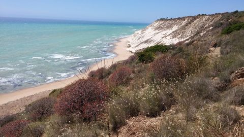
The white marl cliff of Realmonte: how to visit it today, what you really see and where to get down to the sea.

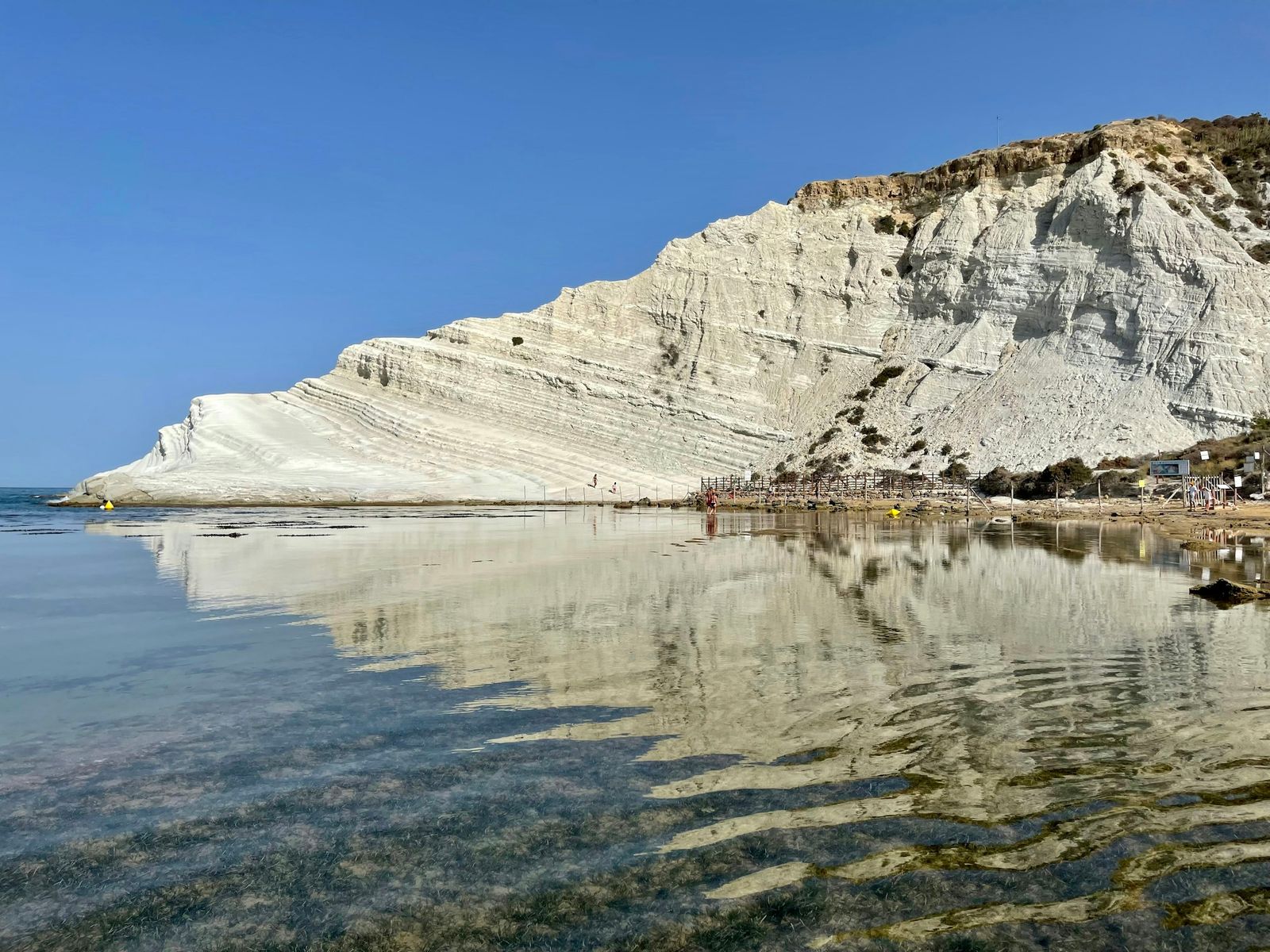
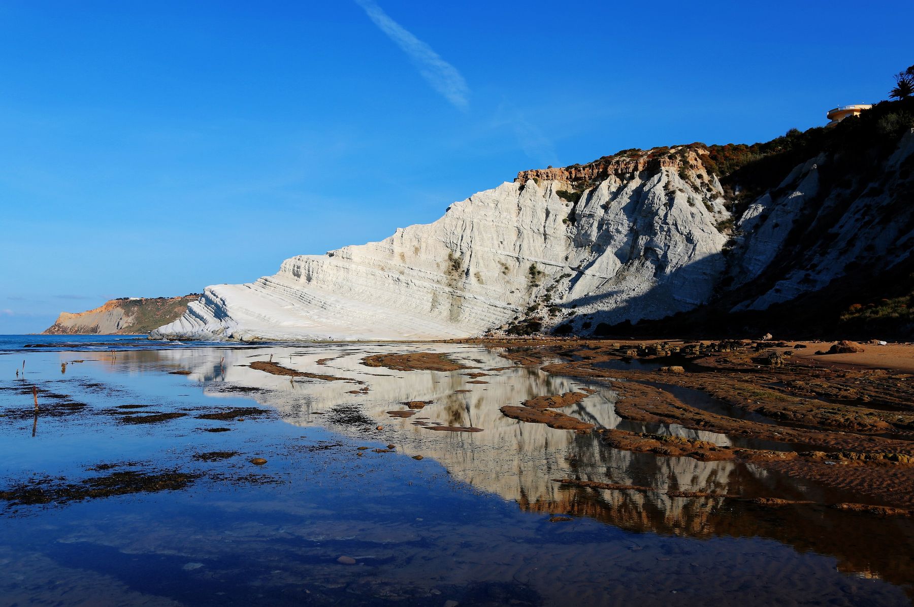
The white marl cliff of Scala dei Turchi with its steps, seen from the shoreline in morning light and reflected in tidal pools under a deep blue sky

Photo Enrico Strocchi, CC BY-SA 2.0

Opens at 08:00, last entry at 19:40. Check before you go. Source: Comune di Realmonte, checked on sunrise 07:12, sunset 18:34 (13 October 2026) The site closes in rain, under a yellow or higher weather alert, in a fresh wind or stronger, in a choppy (slight) sea or rougher, in heat above 34-35 °C (sometimes only in the middle of the day), after an earthquake above magnitude 2.5, or when the municipal civil protection office judges it necessary. Is it open today? Closures and notices

Tickets and hours

Source: Comune di Realmonte, checked on Source: AgrigentoNotizie, checked on
€6

per person

Card only, at the entrance

08:00

opening time. Last entry at 19:40

20 minutes

the visit, in groups of 50 people

1,800

entries a day at most

Upper steps closed

The upper part is closed to visitors: you walk only on the lower area, along a fixed route
The site closes in rain, under a yellow or higher weather alert, in a fresh wind or stronger, in a choppy (slight) sea or rougher, in heat above 34-35 °C (sometimes only in the middle of the day), after an earthquake above magnitude 2.5, or when the municipal civil protection office judges it necessary. Tickets, exemptions and booking All the rules

How the visit really works

From the road you see it from above, but there is no direct entrance. This is the walk down to the rock, with the times reported by visitors.

Sketch of the route from the car park to the part of Scala dei Turchi open to visitors 2510 P 1 2 3 4 5 SP 68 Realmonte - Porto Empedocle paid car parks staircase beach, 10-20 minutes on foot steps closed closed area open to visitors indicative sketch, not to scale N
  1. Park along the SP 68

    Paid car parks, privately run according to guides and reviews, with very different rates.

  2. Go down the stairs

    A steep staircase down to the sea, or a paid Apecar (a small three-wheeled vehicle) to the start of the beach. According to one visitor the Google Maps pin is about 400 metres from the entrance: look for the Discesa Scala dei Turchi.

  3. Walk along the beach

    10 to 20 minutes on sand, with no shade.

  4. Pay and wait for your turn

    You pay for the ticket at the entrance. Groups of 50 people every 20 minutes.

  5. Visit the lower area

    About 20 minutes on the open part. The steps above are closed and cannot be climbed.

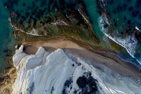
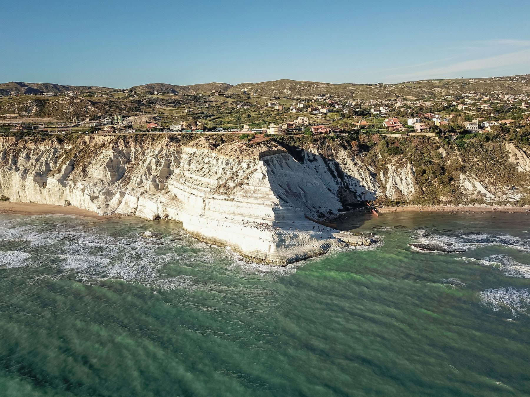
Scala dei Turchi seen from the sea by drone: the white marl wall rises from green, wave-flecked water, with a few houses along the clifftop
Photo Marcus Ferguson (Unsplash)

Plan your day

Where to start, where to leave the car, when to go, where to swim and how to combine the visit with the Valley of the Temples.

Scala dei Turchi (Turkish Steps) in Sicily: what to see and how to visit

Independent guide to Scala dei Turchi, the Turkish Steps near Agrigento: tickets, beach, how to get there, best time to go and tips before you visit.

Parking at Scala dei Turchi: car parks, prices and walking distance

Where to park for Scala dei Turchi: paid car parks, campervan areas, prices reported by visitors, the walk to the entrance and options without a car.

Scala dei Turchi at sunset: best time of day, best season and crowds

Best time to visit Scala dei Turchi, month by month: sunset times, weather, sea temperature, crowds and closures, and the best hour before the last entry.

Scala dei Turchi beach: can you swim there, and which beaches are nearby

Can you swim at Scala dei Turchi? The beach below the cliff, beach clubs, water quality, kids, and nearby beaches such as Lido Rossello and Giallonardo.

From Agrigento to Scala dei Turchi: distance, bus and a day with the Valley of the Temples

How far is Scala dei Turchi from Agrigento, how to get there by bus or taxi, and how to combine it with the Valley of the Temples in one day. Times, tips.

The coast, from Porto Empedocle to Eraclea Minoa

From Porto Empedocle to Eraclea Minoa it is 25 kilometres as the crow flies, past marl cliffs, watchtowers and nature reserves. The Scala is only the best-known spot.

Map of the coast between Porto Empedocle and Eraclea Minoa with the places in the guide Nature reserve Scala dei Turchi Lido Rossello RealmonteAgrigento Porto Empedocle Siculiana Marina Torre Salsa Eraclea Minoa Giallonardo Map of the coast between Porto Empedocle and Eraclea Minoa with the places in the guide Nature reserve Scala dei Turchi Agrigento Porto Empedocle Siculiana Marina Torre Salsa Eraclea Minoa Valley of the Temples

© OpenStreetMap contributors

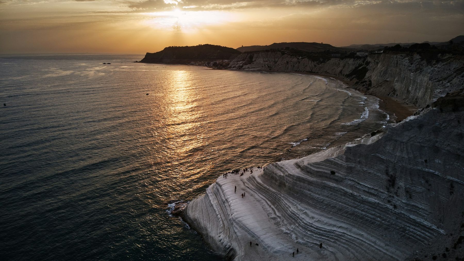
Aerial view at sunset: the sun sinks behind a headland and leaves a golden trail on the sea, while small figures stand on the white steps in the foreground
Photo Marco Di Baudo (Unsplash)

A calendar in stone

5.3 millionyears: the age of the base of the Trubi, the white marl of this coast

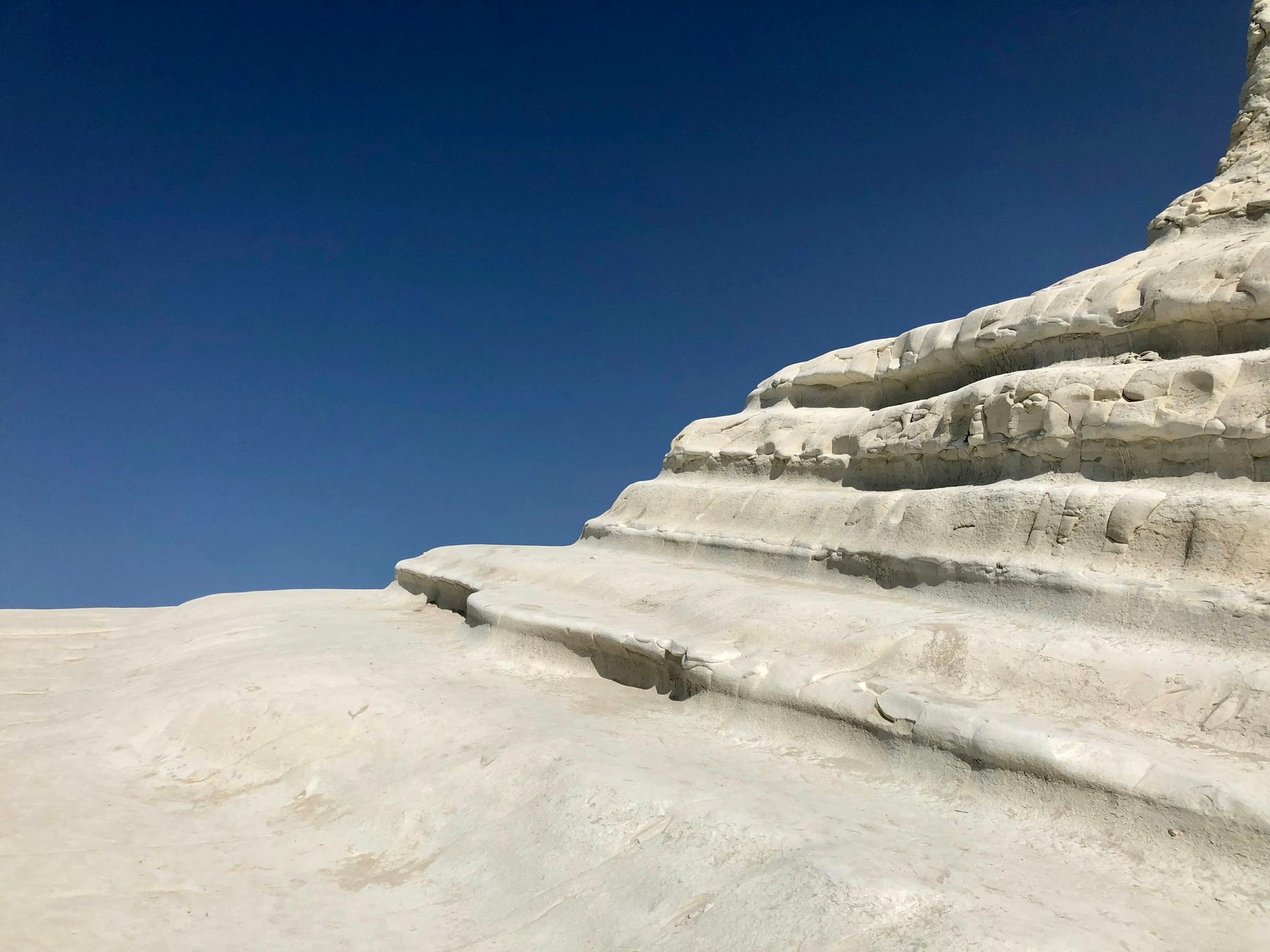
Each pair of light and grey layers, about a metre thick, marks one cycle of the Earth's orbit of about 21,000 years. On these rocks geologists calibrated the time scale of the Pliocene.

The cliff, layer by layer

The cliff in section: alternating light and grey layers of marl, stepping down towards the sea base of the Trubi, 5.3 million yearstop of the Trubi, about 3.6 million years one light and grey cycleabout 21,000 years The cliff in section: alternating light and grey layers of marl, stepping down towards the sea top of the Trubi,about 3.6 million years base of the Trubi, 5.3 million years one light and grey cycleabout 21,000 years